Geonexus Integration Platform includes prebuilt connectors for Esri, IBM Maximo, SAP, Oracle, Hexagon, REST API, RDBMS, and more.
![]()
![]() Utilities, transportation agencies, infrastructure operators, and public sector organizations depend on spatial data to run critical operations. When GIS and enterprise systems drift out of sync, risk increases and confidence erodes.
Utilities, transportation agencies, infrastructure operators, and public sector organizations depend on spatial data to run critical operations. When GIS and enterprise systems drift out of sync, risk increases and confidence erodes.
Geonexus Integration Platform makes trust explicit by continuously aligning GIS and enterprise systems. Teams can see what matches, understand what does not, and act with confidence knowing their data is accurate.


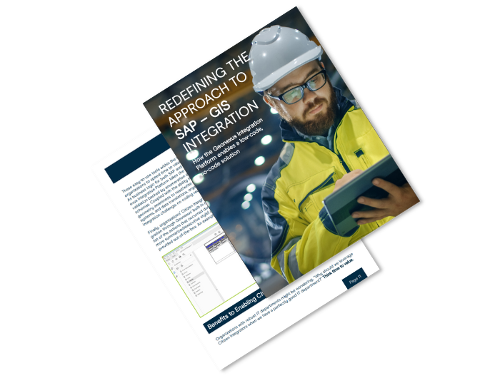
The Geonexus Integration Platform is redefining how organizations integrate their SAP and Esri ArcGIS systems using a low-code, no-code solution.
Download White Paper View All White Papers